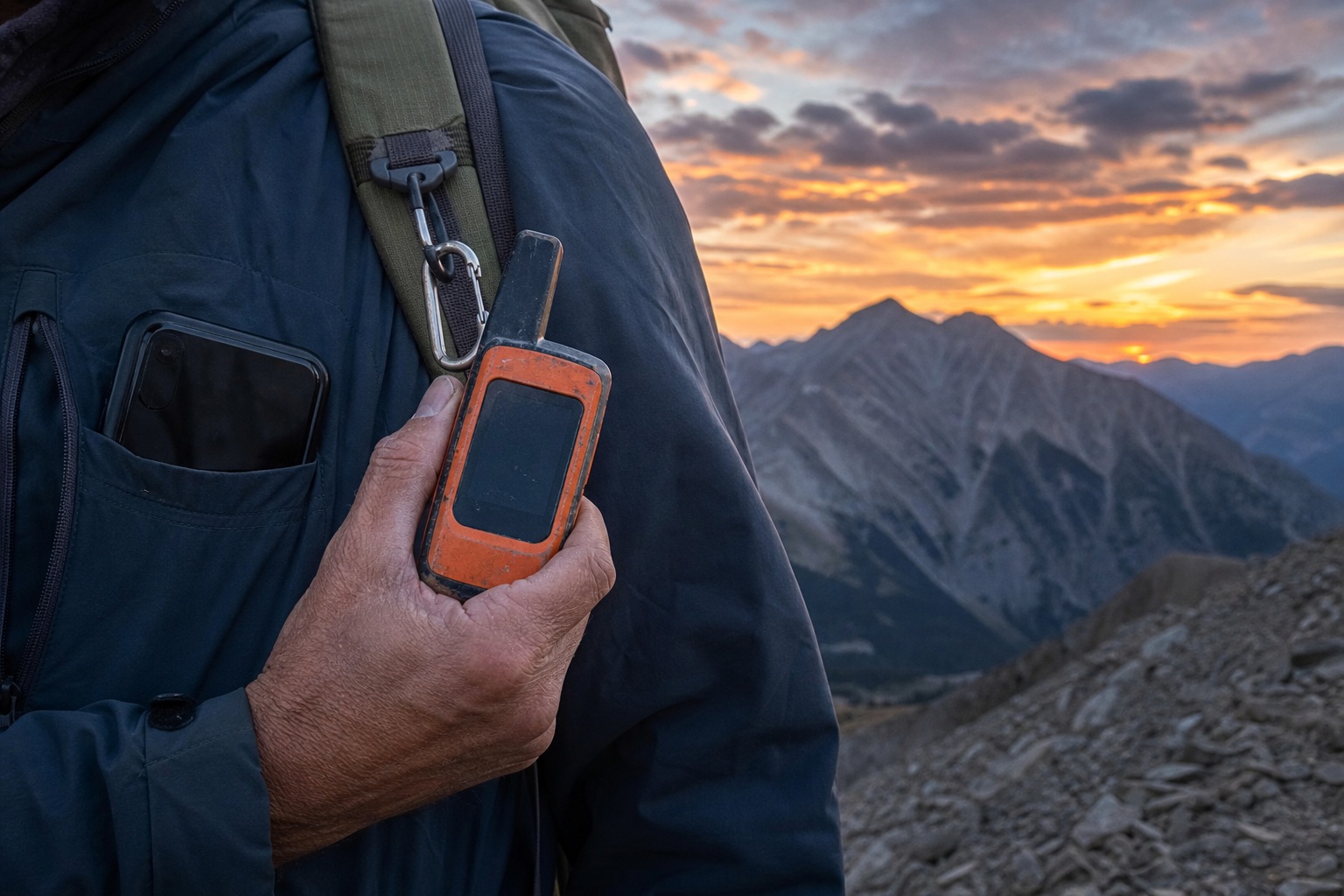
You're trying to decide whether your phone's new satellite feature replaces a Garmin inReach: and the honest answer isn't a single winner. It's a threshold. For short trips near civilization on a recent iPhone or Pixel, your phone's built-in satellite feature is a real, mostly-free safety net, and it's enough. For multi-day, truly remote, marine, or polar travel, a dedicated Garmin inReach still earns its price: global Iridium coverage, a battery that lasts days to weeks, automatic location tracking, and a two-way SOS staffed by a monitoring center. What decides it is how remote and how long you go: not preference or price alone.
Two assumptions quietly wreck this comparison, so clear them first. The first: that it's one or the other. Plenty of experienced travelers carry both: the phone as a handy backup, the inReach as the trusted primary. The second: that "smartphone satellite" is one thing. It isn't. Apple's service runs on Globalstar. Google Pixel uses a different network: the sources don't agree on which, more on that below. And T-Mobile's T-Satellite runs on Starlink, working on many phones you may already own, not just new flagships. Those services differ in coverage, capability, and which handsets they even support.
The Short Answer
Match your trip to the tool, not the tool to your wish list:
- Day hikers and weekenders near roads and trailheads: A compatible phone's satellite SOS is enough. Skip the subscription.
- Frequent off-grid users, thru-hikers, backcountry skiers, hunters: Buy an inReach. You'll use the tracking and two-way texts, not just the SOS.
- Remote, marine, or polar expeditions where a call can't get through by any other means: An inReach isn't optional. Phone networks don't reach where you're going.
- Anyone who wants the strongest odds: Carry both, and treat the inReach as the one your life leans on.
Two Tools, Not Two Versions of One
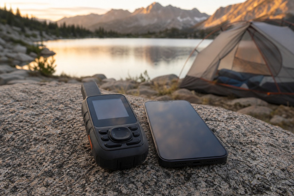
These are different categories of device, not two grades of the same thing. A satellite communicator like the Garmin inReach is a standalone radio built for one job: reaching a satellite from the worst places on Earth, on its own battery, in the rain. Smartphone satellite messaging is a feature bolted onto a consumer phone: a phone that spends most of its day running maps, shooting photos, and draining that same battery.
The phone side also isn't uniform, and that trips people up. Apple's Emergency SOS and Messages via satellite (iPhone 14 and newer, iOS 18+) use the Globalstar network. Google Pixel offers Satellite SOS on the Pixel 9 series and newer: but the reporting splits on the network behind it, with some sources naming Iridium and others naming a Skylo/Qualcomm setup, so treat Pixel's coverage as unsettled until Google states it plainly. T-Mobile's T-Satellite, powered by Starlink, brings satellite texting to a broad list of existing phones rather than just the latest models. Samsung's satellite messaging exists too, but it's region-dependent. "Does my phone do satellite?" has a different answer for nearly every make, carrier, and country: which is exactly why you can't lump it into one column against the inReach.
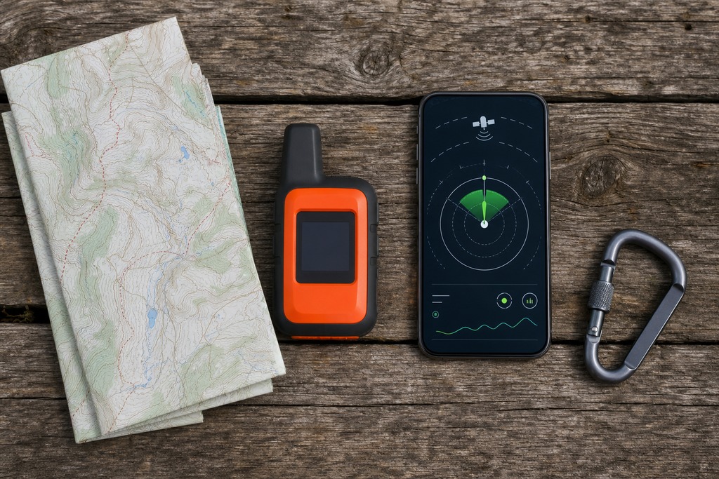
Smartphone Satellite vs. Garmin inReach at a Glance
| Factor | Smartphone satellite | Garmin inReach |
|---|---|---|
| Extra hardware | None (needs iPhone 14+ or compatible Android) | Dedicated device, ~$300–$500 |
| Subscription | Free during trial, then paid | Required, ~$15–$65/mo |
| Satellite network | Globalstar / Skylo / Starlink (varies) | Iridium |
| Two-way SOS with rescue coordination | Alert to local emergency services | Yes, 24/7 Garmin Response |
| General two-way messaging | Limited, text-only, varies by phone | Full: texts, email, social, presets |
| Live location tracking for others | Manual, limited | Automatic breadcrumbs via MapShare |
| Weather forecasts | No | On-demand |
| Battery independence | Phone only | Its own battery |
| Ruggedness / waterproof | Depends on phone | IPX7, built for weather |
| Coverage over oceans and poles | Partial to none | Pole-to-pole |
Coverage: Where Each Actually Works
Iridium reaches everywhere; Globalstar reaches most of where most people go: and those are not the same promise. Iridium's 66 low-Earth-orbit satellites cross the poles, so an inReach can find a satellite from the middle of an ocean, the Brooks Range, or a Patagonian glacier. Garmin describes it as 100% global coverage, and for the places where a communicator actually matters, that holds.
Globalstar, the network behind Apple's service, runs roughly 24 satellites and covers about 80% of Earth's landmass, concentrated over North America and Europe. Apple's satellite features stop working above about 62°N and below about 62°S, with additional gaps across parts of Africa and Asia. Translation: fine for the Sierra, the Whites, or a national forest an hour from a highway: not adequate for Alaska's North Slope, the Arctic, Antarctica, or open ocean. Whichever you carry, both still need a reasonably clear view of the sky. Deep canyons, dense wet canopy, buildings, and caves block satellites no matter the network, and a phone's small internal antenna gives up sooner than a dedicated one.
Emergency SOS: One Alert vs. a Rescue Conversation
The safety-critical gap is the difference between sending a flare and holding a conversation. A phone's satellite SOS is largely one-way: it relays your location and any stored medical ID to a relay center, which then contacts local emergency services. It works, and it has already saved lives, but coordinators generally can't text you back to ask what happened, whether you can move, or how many people are hurt.
An inReach SOS opens a genuine two-way dialogue with Garmin Response: the same 24/7 monitoring center you'll see called GEOS or the IERCC, all one operation. Those coordinators can question you, give first-aid or shelter instructions, relay updates from the search team, and confirm when a helicopter or ground crew is actually inbound. In a drawn-out incident (a broken ankle at dusk, a partner going hypothermic) that back-and-forth changes how the rescue runs, not just whether it starts. A one-way alert tells someone you're in trouble; a two-way channel helps them find and treat you.
Battery Life
A phone shares one battery across everything; an inReach guards a dedicated one. That's the whole story, and the numbers make it concrete.
| Device / mode | Estimated battery life |
|---|---|
| Smartphone (general use with satellite) | A few hours to ~2 days; drains faster searching for a satellite, worse in cold |
| inReach Mini 2, 10-min tracking, open sky | Up to 14 days |
| inReach Mini 2, 10-min tracking, moderate tree cover | About 4 days |
| inReach Mini 2, 30-min tracking | Up to 168 hours (~7 days) |
| inReach Mini 2, expedition mode | Up to ~1,650 hours |
| inReach Messenger Plus, low-power, 10-min send | Up to 25 days |
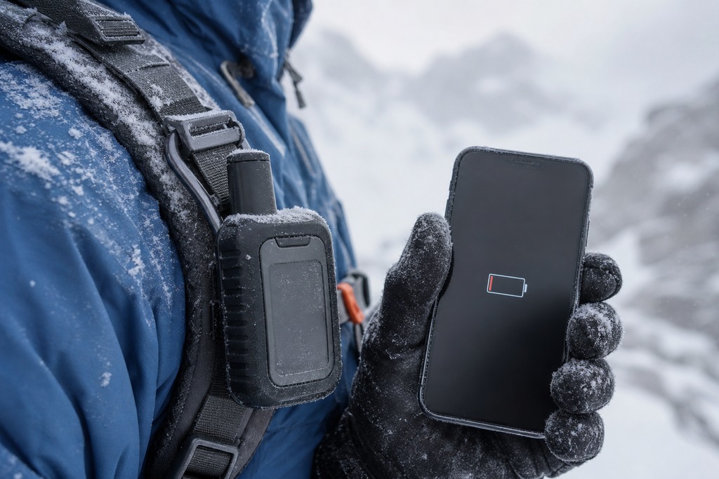
These are manufacturer estimates, and real endurance falls with cold, sky obstruction, and heavy messaging. A phone that's shot photos and run offline maps since dawn can be at 12% by the time something goes wrong: and cold pulls it under faster than the battery indicator warns. An inReach clipped to your pack strap, meanwhile, hasn't been touched. When your communicator is also your camera, map, and everything else, one dead battery ends all of it at once.
Messaging and Tracking
Both send texts off-grid; only one does the rest of the job. Apple's Messages via satellite carries iMessage and SMS with text, emoji, and Tapbacks: no photos, video, audio, stickers, or group messages. Messages go out in short segments, and timing matters: Apple says about 30 seconds under clear sky, more than a minute under light foliage, and heavy cover may stop a connection entirely. It's built to get a short message through, and it does that well.
The inReach does more because it was designed to. It sends two-way texts to any phone or email, posts to social accounts, fires off preset check-ins ("camp reached, all fine"), and pulls on-demand weather forecasts to the device or the paired Garmin Messenger app. Its standout is automatic tracking: set 10-, 30-, or 60-minute intervals and it drops a breadcrumb trail on a MapShare page that family or rescuers can watch live. If you're knocked unconscious or pinned and can't trigger an SOS yourself, those last transmitted points shrink the search area. A phone's location sharing, by contrast, is manual and limited: it can't quietly leave a trail while you're unable to touch it.
What It Costs
"Free" on the phone means "free for now"; the inReach costs money up front and every month you keep it active. Here's the real math.
| Cost item | Smartphone satellite | Garmin inReach |
|---|---|---|
| Upfront hardware | $0 extra (built into iPhone 14+; Android varies) | ~$300–$500 (Mini 2 ~$400, Messenger ~$300, Explorer+ ~$500) |
| Ongoing subscription | Free during trial | ~$15/mo (Safety) to ~$65/mo (Expedition) |
| After the free trial | Apple ~$10/mo or $100/yr | Subscription always required |
| Can you pause it? | Yes | Yes, seasonally |
Two catches sit inside those numbers. First, Apple's satellite features are free for a set window (roughly 2 years on the iPhone 14 and 15, and about 3 years on the iPhone 16) then $10/month or $100/year. It is not free forever. Second, Garmin's cheaper tiers save money by capping what you can do: the Safety plan (about $14.95/month) includes SOS and only a handful of texts with no tracking, while unlimited texts and frequent tracking live on the Expedition plan near $64.95/month. All of these prices shift over time and by country: confirm the current figure on Apple's and Garmin's own pages before you buy, since the exact rate is the part most likely to have changed since this was written.
Smartphone Satellite Messaging
Built-in phone satellite is the safety net you didn't have to think about, because it's already in your pocket. If your off-grid time is measured in hours near populated country, that convenience is the whole point: no second device to charge, no plan to remember, no extra weight.
Pros:
- No extra hardware to buy, carry, or charge
- Free during the trial period, then modest cost
- Familiar Messages interface with your real contacts
- The communicator you'll always have on you anyway
Cons:
- Regional coverage with hard latitude limits; useless in the Arctic or mid-ocean
- Free only for a limited window, then $10/mo or $100/yr on Apple
- Largely one-way SOS, no monitored rescue dialogue
- Shares one fragile, non-waterproof battery with everything else
- Capability varies wildly by phone, carrier, and country
Best for: occasional day hikers, weekenders, and road-trippers near civilization who want a low-cost fallback and won't pay for a communicator they'd rarely use.
Garmin inReach
The inReach is a purpose-built lifeline that works when the phone can't: anywhere with a clear view of the sky, on its own power, in weather that would kill a handset. The Mini 2 weighs about 100 grams, clips to a shoulder strap, floats, and shrugs off rain at IPX7. You pay for that reliability twice: once for the device, and again every month it's active.
Pros:
- Pole-to-pole Iridium coverage, including oceans and polar regions
- Two-way SOS with a 24/7 monitored response center
- Automatic breadcrumb tracking others can follow live
- On-demand weather, presets, email, and social messaging
- Days-to-weeks battery, fully independent of your phone
Cons:
- $300–$500 up front plus a mandatory subscription
- One more device to carry and keep charged
- Slower typing on the unit alone (pairing a phone fixes this)
- Lower plan tiers cap texts and tracking
Best for: multi-day, remote, marine, or polar travelers, guides, and anyone whose margin for error is zero.
Who Should Skip Each Option
Neither tool is universal, and pretending otherwise is how people get hurt or overspend. Skip the inReach if your outdoor life is genuinely occasional day hikes within a few miles of a road, and you won't pay a monthly fee for hardware that mostly sits in a drawer — that money buys you nothing you'll use. And don't trust a phone alone when the trip turns serious. If you're heading above 62° latitude, offshore, into a slot canyon for days, or anywhere a dead battery leaves you with no way to call for help, a phone's regional coverage and shared battery are a single point of failure dressed up as a safety net. The moment your communicator is also the thing you're burning to shoot photos and navigate, it has stopped being a reliable communicator.
Which Should You Choose?
Pick by trip severity, not by what feels modern or thrifty. Here are the two clean cases.
Choose Smartphone Satellite Messaging If:
- You take occasional day hikes or car-camping trips near civilization
- You already own a recent iPhone or compatible Pixel
- You want a free-ish backup and won't pay a subscription for rare use
- Your outings run hours, not days, so battery drain barely matters
- You stay well inside populated latitudes with open terrain
Choose a Garmin inReach If:
- You travel multiple days into remote country, or go marine or polar
- You need family or a base to track your live position
- You want a monitored, two-way SOS that talks back and confirms rescue
- You need a rugged, waterproof device that outlasts your phone
- You go where Globalstar simply doesn't reach
Why Many People Carry Both
Experienced backcountry travelers routinely carry both. The phone is the convenient everyday messenger and a second SOS if the primary fails; the inReach is the device your plan actually depends on, with the coverage, battery, and monitored rescue channel that hold up when the trip goes wrong. Buy by the worst day you could realistically have, not the average one. If that worst day happens near a road, your phone is plenty. If it could happen forty miles from the nearest trailhead in a storm, carry the inReach — and be glad the phone is there too.
FAQ
Does smartphone satellite messaging work without any cell service?
Yes — that's the entire point. On a compatible phone (iPhone 14 and newer, or a supporting Android), Emergency SOS and satellite texting connect directly to satellites when you're outside cellular and Wi-Fi range. You still need a clear view of the sky, and you point the phone as an on-screen indicator guides you.
Is Apple's satellite feature really free?
Only for a limited window. Apple includes it free for roughly 2 years on the iPhone 14 and 15 and about 3 years on the iPhone 16, then charges around $10 per month or $100 per year. Confirm the current terms on Apple's site, since Apple has extended these windows before and pricing can change.
Does a Garmin inReach work without a phone?
Yes. An inReach sends messages, tracks, and triggers SOS entirely on its own, using its dedicated battery and antenna. Pairing it with the Garmin Messenger app just makes typing faster — the device never depends on your phone to function.
Can a phone's SOS reach a rescue center the way an inReach does?
Not in the same way. A phone relays your alert and location to local emergency services with little room for them to text back. An inReach SOS opens a two-way conversation with Garmin Response, a 24/7 center that can ask questions, give instructions, and coordinate the actual rescue.
Which one works in Alaska, Patagonia, or Antarctica?
The inReach. Its Iridium network covers the poles and remote continents, while Apple's Globalstar service stops working above about 62°N and below about 62°S. For high-latitude or expedition travel, phone satellite is not a reliable option.
If I have a new iPhone, do I still need an inReach?
For day hikes near civilization, no — the phone is enough. For multi-day, remote, marine, or polar trips, yes: you need the global coverage, multi-day battery, live tracking, and monitored two-way SOS the phone can't match. Match the tool to the trip's severity.
References
- Apple Support — Emergency SOS and Messages via satellite: requirements and limitations (support.apple.com)
- Garmin Support — inReach satellite coverage and Iridium network (support.garmin.com)
- Garmin — inReach Mini 2 owner's manual, battery specifications (garmin.com)
- Garmin — inReach Messenger Plus specifications and battery estimates (garmin.com)
- Garmin Support — inReach subscription plans and SOS / Garmin Response details (support.garmin.com)